
Kot topographic map
Interactive map
Click on the map to display elevation.
About this map
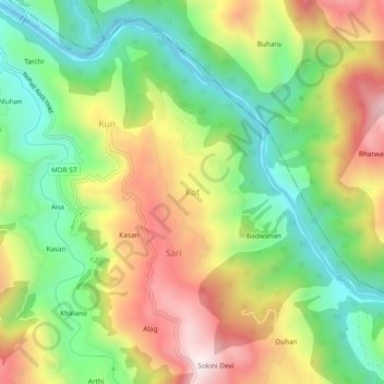
Name: Kot topographic map, elevation, terrain.
Location: Kot, Kotli, Mandi, Himachal Pradesh, India (31.78928 76.84576 31.82928 76.88576)
Average elevation: 939 m
Minimum elevation: 655 m
Maximum elevation: 1,312 m