
Annfield topographic map
Interactive map
Click on the map to display elevation.
About this map
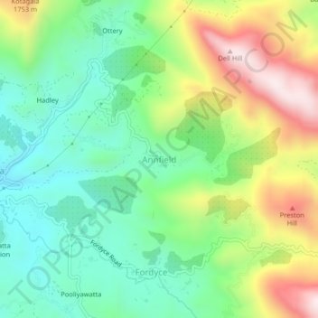
Name: Annfield topographic map, elevation, terrain.
Location: Annfield, Nuwara Eliya District, Central Province, Sri Lanka (6.85364 80.61581 6.89364 80.65581)
Average elevation: 1,452 m
Minimum elevation: 1,211 m
Maximum elevation: 1,876 m