
Khurai topographic map
Interactive map
Click on the map to display elevation.
About this map
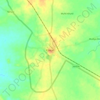
Name: Khurai topographic map, elevation, terrain.
Location: Khurai, Khurai Tahsil, Sagar, Madhya Pradesh, 470117, India (24.00222 78.28963 24.08222 78.36963)
Average elevation: 431 m
Minimum elevation: 416 m
Maximum elevation: 446 m