
Port Fairy topographic map
Interactive map
Click on the map to display elevation.
About this map
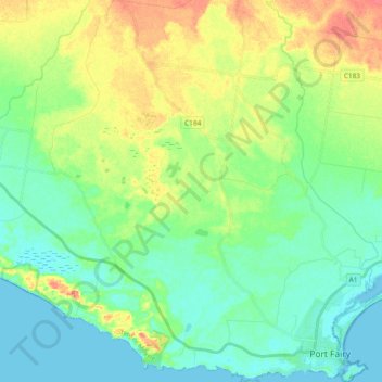
Name: Port Fairy topographic map, elevation, terrain.
Location: Port Fairy, Shire of Moyne, Victoria, 3284, Australia (-38.39675 142.11610 -38.24897 142.29123)
Average elevation: 22 m
Minimum elevation: -1 m
Maximum elevation: 70 m