
Galathura topographic map
Interactive map
Click on the map to display elevation.
About this map
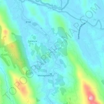
Name: Galathura topographic map, elevation, terrain.
Location: Galathura, Ratnapura District, Sabaragamuwa Province, Sri Lanka (6.68973 80.27049 6.72973 80.31049)
Average elevation: 85 m
Minimum elevation: 9 m
Maximum elevation: 420 m