
Hanumangarh topographic map
Interactive map
Click on the map to display elevation.
About this map
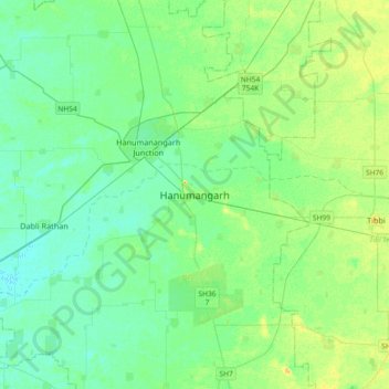
Name: Hanumangarh topographic map, elevation, terrain.
Average elevation: 185 m
Minimum elevation: 178 m
Maximum elevation: 200 m
Other topographic maps
Click on a map to view its topography, its elevation and its terrain.
Nurpura
India > Rajasthan > Hanumangarh Tehsil
Nurpura, Hanumangarh Tehsil, Hanumangarh District, Rajasthan, India
Average elevation: 181 m