
Bentota topographic map
Interactive map
Click on the map to display elevation.
About this map
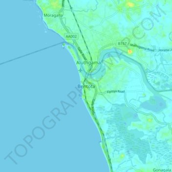
Name: Bentota topographic map, elevation, terrain.
Location: Bentota, Galle District, Southern Province, 12080, Sri Lanka (6.38153 79.95785 6.46153 80.03785)
Average elevation: 2 m
Minimum elevation: -3 m
Maximum elevation: 26 m