
Kendrapara Sadar topographic map
Interactive map
Click on the map to display elevation.
About this map
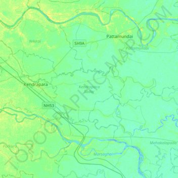
Name: Kendrapara Sadar topographic map, elevation, terrain.
Location: Kendrapara Sadar, Kendrapara, Odisha, India (20.43337 86.26319 20.55971 86.56883)
Average elevation: 5 m
Minimum elevation: -2 m
Maximum elevation: 16 m