
Fatepura topographic map
Interactive map
Click on the map to display elevation.
About this map
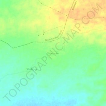
Name: Fatepura topographic map, elevation, terrain.
Location: Fatepura, Kheralu Taluka, Mahesana District, Gujarat, India (23.91193 72.56213 23.95193 72.60213)
Average elevation: 185 m
Minimum elevation: 171 m
Maximum elevation: 201 m