
Baravi Dam topographic map
Interactive map
Click on the map to display elevation.
About this map
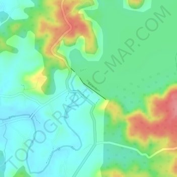
Name: Baravi Dam topographic map, elevation, terrain.
Average elevation: 64 m
Minimum elevation: 29 m
Maximum elevation: 129 m
Other topographic maps
Click on a map to view its topography, its elevation and its terrain.
Kulgaon Badlapur
India > Maharashtra > Ambarnath > Kulgaon Badlapur > Badlapur
Kulgaon Badlapur, Badlapur, Mumbai Metropolitan Region, Ambarnath, Thane, Maharashtra, 421503, India
Average elevation: 65 m