
Wat Thai Vishali Temple topographic map
Interactive map
Click on the map to display elevation.
About this map
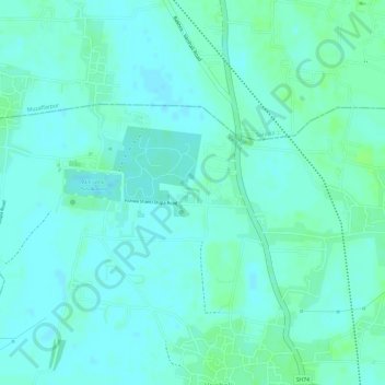
Name: Wat Thai Vishali Temple topographic map, elevation, terrain.
Location: Wat Thai Vishali Temple, Vaishali, Bihar, India (25.99203 85.12302 25.99350 85.12486)
Average elevation: 55 m
Minimum elevation: 51 m
Maximum elevation: 60 m
Other topographic maps
Click on a map to view its topography, its elevation and its terrain.