
Sangod topographic map
Interactive map
Click on the map to display elevation.
About this map
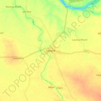
Name: Sangod topographic map, elevation, terrain.
Location: Sangod, Sangod Tehsil, Kota, Rajasthan, 325600, India (24.88518 76.24610 24.96518 76.32610)
Average elevation: 263 m
Minimum elevation: 237 m
Maximum elevation: 276 m
Sangod is located at 24°55′N 76°17′E / 24.92°N 76.28°E / 24.92; 76.28 on the Ujad river. It has an average elevation of 256 metres (839 feet).