
Salamat topographic map
Interactive map
Click on the map to display elevation.
About this map
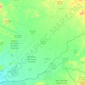
Name: Salamat topographic map, elevation, terrain.
Location: Salamat, Chad (9.08304 18.87400 12.12300 22.38722)
Average elevation: 450 m
Minimum elevation: 371 m
Maximum elevation: 1,302 m