
Irla topographic map
Interactive map
Click on the map to display elevation.
About this map
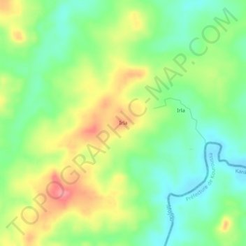
Name: Irla topographic map, elevation, terrain.
Location: Irla, Kissidougou, Faranah, Guinea (9.84463 -10.39621 9.88463 -10.35621)
Average elevation: 459 m
Minimum elevation: 424 m
Maximum elevation: 507 m