
Campobasso topographic map
Interactive map
Click on the map to display elevation.
About this map
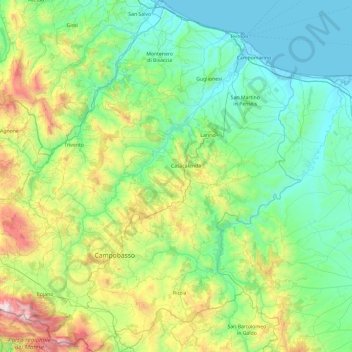
Name: Campobasso topographic map, elevation, terrain.
Location: Campobasso, Molise, Italy (41.36406 14.37773 42.07028 15.16168)
Average elevation: 435 m
Minimum elevation: -1 m
Maximum elevation: 2,014 m
Other topographic maps
Click on a map to view its topography, its elevation and its terrain.