
Dehue topographic map
Interactive map
Click on the map to display elevation.
About this map
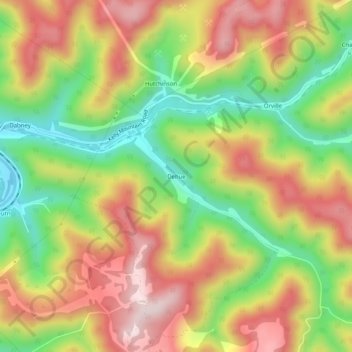
Name: Dehue topographic map, elevation, terrain.
Location: Dehue, Logan County, West Virginia, 25464, United States (37.78622 -81.92595 37.82622 -81.88595)
Average elevation: 416 m
Minimum elevation: 204 m
Maximum elevation: 624 m