
Ghol Ghati topographic map
Interactive map
Click on the map to display elevation.
About this map
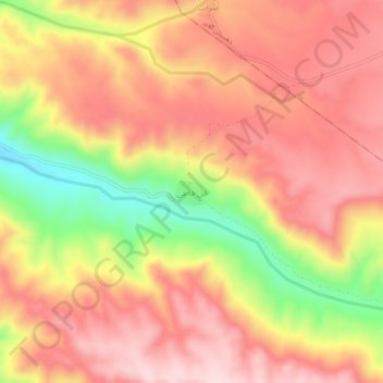
Name: Ghol Ghati topographic map, elevation, terrain.
Location: Ghol Ghati, بخش حلب, Ijrud County, Zanjan Province, Iran (36.19456 48.23335 36.23456 48.27335)
Average elevation: 1,910 m
Minimum elevation: 1,720 m
Maximum elevation: 2,022 m