
Pfunds topographic map
Interactive map
Click on the map to display elevation.
About this map
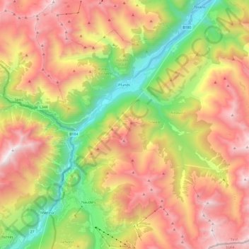
Name: Pfunds topographic map, elevation, terrain.
Location: Pfunds, Landeck, Tyrol, 6542, Austria (46.86430 10.45231 47.01944 10.68750)
Average elevation: 1,983 m
Minimum elevation: 919 m
Maximum elevation: 3,099 m