
Frontera topographic map
Interactive map
Click on the map to display elevation.
About this map
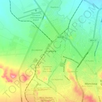
Name: Frontera topographic map, elevation, terrain.
Location: Frontera, Coahuila de Zaragoza, 25700, México (26.88555 -101.49229 26.96555 -101.41229)
Average elevation: 591 m
Minimum elevation: 544 m
Maximum elevation: 677 m