
Lontla topographic map
Interactive map
Click on the map to display elevation.
About this map
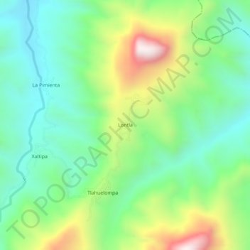
Name: Lontla topographic map, elevation, terrain.
Location: Lontla, San José, Tlanchinol, Hidalgo, México (21.05194 -98.64722 21.09194 -98.60722)
Average elevation: 646 m
Minimum elevation: 359 m
Maximum elevation: 1,233 m