
Days topographic map
Interactive map
Click on the map to display elevation.
About this map
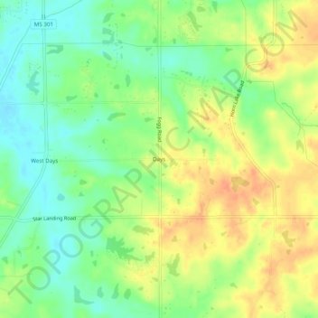
Name: Days topographic map, elevation, terrain.
Location: Days, DeSoto County, Mississippi, United States of America (34.89168 -90.09833 34.93168 -90.05833)
Average elevation: 88 m
Minimum elevation: 68 m
Maximum elevation: 108 m