
Jagdberg topographic map
Interactive map
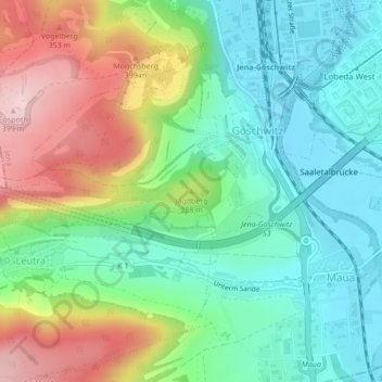
Click on the map to display elevation.
About this map
Name: Jagdberg topographic map, elevation, terrain.
Location: Jagdberg, Jena, Thüringen, 07747, Deutschland (50.87414 11.58486 50.87424 11.58496)
Average elevation: 235 m
Minimum elevation: 146 m
Maximum elevation: 399 m