
Sengādu topographic map
Interactive map
Click on the map to display elevation.
About this map
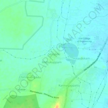
Name: Sengādu topographic map, elevation, terrain.
Location: Sengādu, Kanchipuram district, Tamil Nadu, India (12.72693 80.16460 12.76693 80.20460)
Average elevation: 8 m
Minimum elevation: 0 m
Maximum elevation: 33 m