
Viar topographic map
Interactive map
Click on the map to display elevation.
About this map
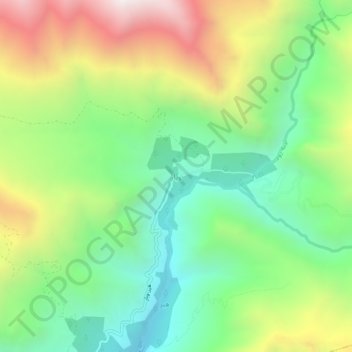
Name: Viar topographic map, elevation, terrain.
Location: Viar, بخش الموت غربی, Qazvin County, Qazvin Province, Iran (36.59994 50.25408 36.63994 50.29408)
Average elevation: 2,154 m
Minimum elevation: 1,630 m
Maximum elevation: 2,993 m