
Gangpur topographic map
Interactive map
Click on the map to display elevation.
About this map
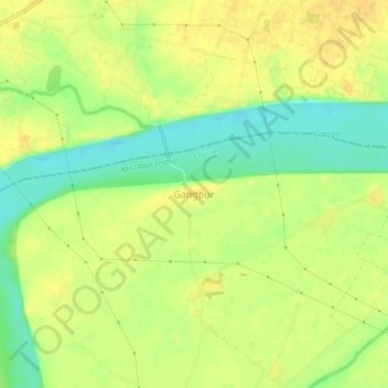
Name: Gangpur topographic map, elevation, terrain.
Location: Gangpur, Mirzapur, Uttar Pradesh, India (25.18238 82.91654 25.22238 82.95654)
Average elevation: 73 m
Minimum elevation: 55 m
Maximum elevation: 84 m