
Mäder topographic map
Interactive map
Click on the map to display elevation.
About this map
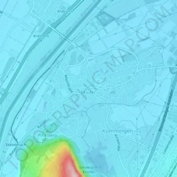
Name: Mäder topographic map, elevation, terrain.
Location: Mäder, Feldkirch, Vorarlberg, 6841, Austria (47.33724 9.59634 47.36243 9.63567)
Average elevation: 423 m
Minimum elevation: 409 m
Maximum elevation: 646 m