
Kharwa topographic map
Interactive map
Click on the map to display elevation.
About this map
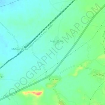
Name: Kharwa topographic map, elevation, terrain.
Location: Kharwa, Masuda Tehsil, Ajmer, Rajasthan, India (26.18201 74.41788 26.22201 74.45788)
Average elevation: 447 m
Minimum elevation: 432 m
Maximum elevation: 491 m