
Khatauli topographic map
Interactive map
Click on the map to display elevation.
About this map
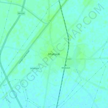
Name: Khatauli topographic map, elevation, terrain.
Location: Khatauli, Muzaffarnagar, Uttar Pradesh, 251200, India (29.25802 77.71246 29.29802 77.75246)
Average elevation: 239 m
Minimum elevation: 236 m
Maximum elevation: 243 m