
Aouinet el Hadjel topographic map
Interactive map
Click on the map to display elevation.
About this map
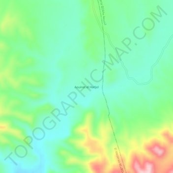
Name: Aouinet el Hadjel topographic map, elevation, terrain.
Location: Aouinet el Hadjel, Daïra El Ogla, Tébessa, RADP (35.14876 7.67116 35.18876 7.71116)
Average elevation: 1,101 m
Minimum elevation: 1,026 m
Maximum elevation: 1,274 m