
Alang topographic map
Interactive map
Click on the map to display elevation.
About this map
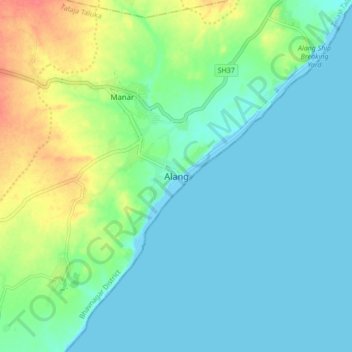
Name: Alang topographic map, elevation, terrain.
Location: Alang, Talaja Taluka, Bhavnagar, Gujarat, 364081, India (21.35686 72.13745 21.43686 72.21745)
Average elevation: 15 m
Minimum elevation: -2 m
Maximum elevation: 55 m