
Panhala topographic map
Interactive map
Click on the map to display elevation.
About this map
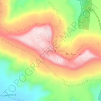
Name: Panhala topographic map, elevation, terrain.
Location: Panhala, Kolhapur, Maharashtra, 416214, India (16.78668 74.09260 16.82668 74.13260)
Average elevation: 768 m
Minimum elevation: 551 m
Maximum elevation: 964 m