
Lamberhurst topographic map
Interactive map
Click on the map to display elevation.
About this map
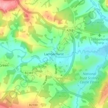
Name: Lamberhurst topographic map, elevation, terrain.
Location: Lamberhurst, Kent, South East, England, TN3 8DW, United Kingdom (51.08201 0.37221 51.12201 0.41221)
Average elevation: 73 m
Minimum elevation: 34 m
Maximum elevation: 144 m