
Punjai Puliampatti topographic map
Interactive map
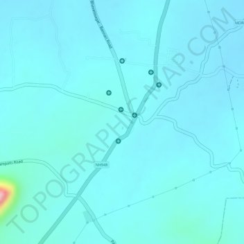
Click on the map to display elevation.
About this map
Name: Punjai Puliampatti topographic map, elevation, terrain.
Average elevation: 307 m
Minimum elevation: 289 m
Maximum elevation: 467 m
On the north side of the town are Eastern Ghats and on the west side are the Western Ghats Nilgiri mountains.The nearest major cities are Coimbatore, which is 40 km (25 mi), and Tiruppur which is 35 km (22 mi) away from Punjai Puliampatti. The town has an average elevation of 312 m (1,024 ft).