
خدیجه خاتون topographic map
Interactive map
Click on the map to display elevation.
About this map
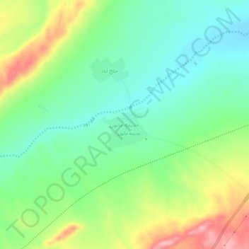
Name: خدیجه خاتون topographic map, elevation, terrain.
Location: خدیجه خاتون, بخش سلفچگان, Qom County, Qom Province, Iran (34.45177 50.62988 34.49177 50.66988)
Average elevation: 1,140 m
Minimum elevation: 1,088 m
Maximum elevation: 1,235 m