
Rath topographic map
Interactive map
Click on the map to display elevation.
About this map
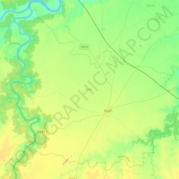
Name: Rath topographic map, elevation, terrain.
Location: Rath, Hamirpur District, Uttar Pradesh, India (25.47830 79.35555 25.79216 79.74353)
Average elevation: 152 m
Minimum elevation: 111 m
Maximum elevation: 240 m