
Iztacalco topographic map
Interactive map
Click on the map to display elevation.
Iztacalco
The borough extends over 23.1 km2 or 2,317.4 hectares, all of which is urbanized. It accounts for 1.75% of the total territory of Mexico City, and it is the smallest of the 16 boroughs. The land is flat and located on the lakebed of Lake Texcoco in the Valley of Mexico at an altitude of 2,235 meters above sea level. Today, however, the lake in this area has dried completely and the canals, wetlands and lake of the territory have completely disappeared. The climate is considered to be semi-arid and temperate, with only the area bordering Benito Juárez and Iztapalapa considered to be semi-moist with rains in the summer. Overall, the borough is the driest in Mexico City, with an annual rainfall of not over 600 to 700mm per year. With over 90% paved over, there are no wild habitats left in the borough. Of the 2.34% dedicated to green space, most of these are traffic islands on major thoroughfares.
About this map
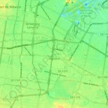
Name: Iztacalco topographic map, elevation, terrain.
Location: Iztacalco, Mexico City, Mexico (19.37570 -99.13718 19.42223 -99.05579)
Average elevation: 2,232 m
Minimum elevation: 2,220 m
Maximum elevation: 2,243 m
Other topographic maps
Click on a map to view its topography, its elevation and its terrain.