
Chimasandra topographic map
Interactive map
Click on the map to display elevation.
About this map
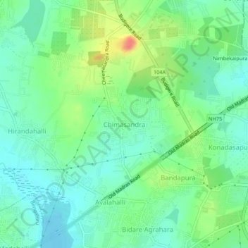
Name: Chimasandra topographic map, elevation, terrain.
Location: Chimasandra, Bangalore Urban, Karnataka, 560049, India (13.02786 77.71892 13.06786 77.75892)
Average elevation: 882 m
Minimum elevation: 863 m
Maximum elevation: 922 m