
Pudūr topographic map
Interactive map
Click on the map to display elevation.
About this map
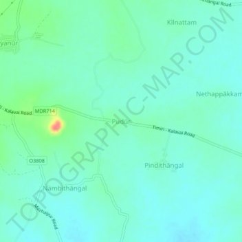
Name: Pudūr topographic map, elevation, terrain.
Location: Pudūr, Vellore district, Tamil Nadu, India (12.76798 79.35307 12.80798 79.39307)
Average elevation: 140 m
Minimum elevation: 126 m
Maximum elevation: 192 m