
Karainagar topographic map
Interactive map
Click on the map to display elevation.
About this map
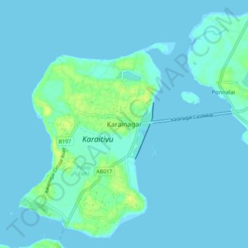
Name: Karainagar topographic map, elevation, terrain.
Location: Karainagar, Jaffna District, Northern Province, Sri Lanka (9.70044 79.84504 9.78044 79.92504)
Average elevation: 2 m
Minimum elevation: -1 m
Maximum elevation: 13 m