
Gibsonton topographic map
Interactive map
Click on the map to display elevation.
About this map
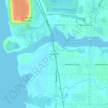
Name: Gibsonton topographic map, elevation, terrain.
Location: Gibsonton, Hillsborough County, Florida, 33534, USA (27.83364 -82.40259 27.87364 -82.36259)
Average elevation: 6 m
Minimum elevation: -1 m
Maximum elevation: 46 m