
Peechi Dam topographic map
Interactive map
Click on the map to display elevation.
About this map
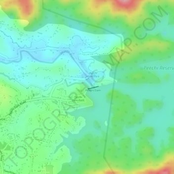
Name: Peechi Dam topographic map, elevation, terrain.
Location: Peechi Dam, Thrissur, Kerala, India (10.52984 76.36915 10.53022 76.37095)
Average elevation: 85 m
Minimum elevation: 40 m
Maximum elevation: 183 m