
Basna topographic map
Interactive map
Click on the map to display elevation.
About this map
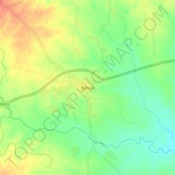
Name: Basna topographic map, elevation, terrain.
Location: Basna, Basna Tahsil, Mahasamund, Chhattisgarh, 493554, India (21.23770 82.78767 21.31770 82.86767)
Average elevation: 268 m
Minimum elevation: 248 m
Maximum elevation: 291 m