
Nagar topographic map
Interactive map
Click on the map to display elevation.
About this map
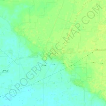
Name: Nagar topographic map, elevation, terrain.
Location: Nagar, Phillaur Tahsil, Jalandhar, Punjab, India (31.02243 75.81977 31.06243 75.85977)
Average elevation: 244 m
Minimum elevation: 236 m
Maximum elevation: 251 m