
Krabi topographic map
Interactive map
Click on the map to display elevation.
About this map
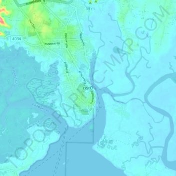
Name: Krabi topographic map, elevation, terrain.
Location: Krabi, Krabi Noi, Krabi Province, 81300, Thailand (8.02346 98.87623 8.10346 98.95623)
Average elevation: 9 m
Minimum elevation: -2 m
Maximum elevation: 128 m
Other topographic maps
Click on a map to view its topography, its elevation and its terrain.
Khlong Khong Beach
Thailand > Krabi Province > Khlong Nin
Khlong Khong Beach, 4245, Khlong Nin, Sala Dan, Krabi Province, 81150, Thailand
Average elevation: 21 m