
R/N Ward topographic map
Interactive map
Click on the map to display elevation.
About this map
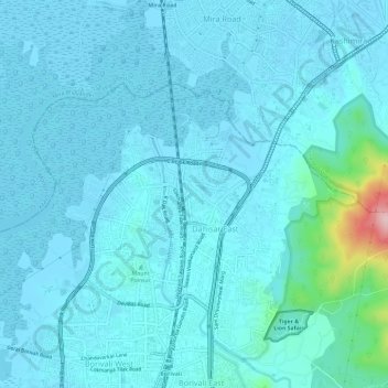
Name: R/N Ward topographic map, elevation, terrain.
Location: R/N Ward, Zone 4, Mumbai, Mumbai Suburban, Maharashtra, India (19.23710 72.83496 19.27018 72.89358)
Average elevation: 23 m
Minimum elevation: -3 m
Maximum elevation: 254 m
Other topographic maps
Click on a map to view its topography, its elevation and its terrain.