
Mhow topographic map
Interactive map
Click on the map to display elevation.
About this map
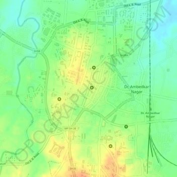
Name: Mhow topographic map, elevation, terrain.
Location: Mhow, Mhow Tahsil, Indore, Madhya Pradesh, 453441, India (22.54996 75.75100 22.56750 75.77031)
Average elevation: 580 m
Minimum elevation: 560 m
Maximum elevation: 599 m