
Trilokpuri topographic map
Interactive map
Click on the map to display elevation.
About this map
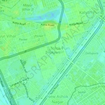
Name: Trilokpuri topographic map, elevation, terrain.
Average elevation: 205 m
Minimum elevation: 198 m
Maximum elevation: 211 m
Other topographic maps
Click on a map to view its topography, its elevation and its terrain.
New Kondli
India > Delhi > Mayur Vihar Tehsil
New Kondli, Mayur Vihar III, Mayur Vihar Tehsil, East Delhi District, Delhi, India
Average elevation: 204 m
Sanjay Lake
India > Delhi > Mayur Vihar Tehsil
Sanjay Lake, Mayur Vihar, Mayur Vihar Tehsil, East Delhi District, Delhi, India
Average elevation: 205 m
Samaspur
India > Delhi > Mayur Vihar Tehsil > Samaspur
Samaspur, Mayur Vihar Tehsil, East Delhi, Delhi, 110091, India
Average elevation: 205 m