
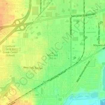
Mars Hill topographic map
Interactive map
Click on the map to display elevation.
About this map
Name: Mars Hill topographic map, elevation, terrain.
Average elevation: 216 m
Minimum elevation: 198 m
Maximum elevation: 230 m
Other topographic maps
Click on a map to view its topography, its elevation and its terrain.
Indianapolis
United States > Indiana > Indianapolis
Indianapolis, Marion County, Indiana, 46204, United States
Average elevation: 241 m