
Shrinagar topographic map
Interactive map
Click on the map to display elevation.
About this map
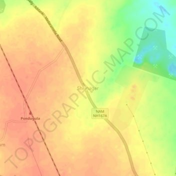
Name: Shrinagar topographic map, elevation, terrain.
Location: Shrinagar, Guntur, Andhra Pradesh, India (16.62914 79.67167 16.66914 79.71167)
Average elevation: 88 m
Minimum elevation: 57 m
Maximum elevation: 101 m