
Île-de-Sein topographic map
Interactive map
Click on the map to display elevation.
About this map
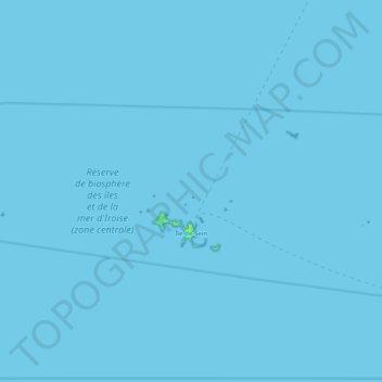
Name: Île-de-Sein topographic map, elevation, terrain.
Average elevation: 0 m
Minimum elevation: 0 m
Maximum elevation: 7 m
Other topographic maps
Click on a map to view its topography, its elevation and its terrain.
Kerambellec
France > Brittany > Finistère > Lanildut > Kerambellec
Kerambellec, Lanildut, Brest, Finistère, Brittany, Metropolitan France, 29840, France
Average elevation: 30 m
Moulin de Bel Air
France > Brittany > Finistère > Brélès > Moulin de Bel Air
Moulin de Bel Air, Brélès, Brest, Finistère, Brittany, Metropolitan France, 29810, France
Average elevation: 40 m